This walk through Williamsburg follows a route from McCarren Park to the East River waterfront, highlighting the neighborhood’s mix of industrial history and creative energy. The path begins in a busy public park, moves along Bedford Avenue past independent businesses and street art, and continues toward parks and public spaces on the river. Visitors will see converted warehouses, low-rise residential blocks, and preserved industrial structures alongside new development. The pace is flexible, with opportunities to pause for food, shopping, or views of the Manhattan skyline. This itinerary is suited to travelers interested in neighborhoods where historic and contemporary elements meet in an active street setting.
McCarren Park and Bedford Avenue
Begin at McCarren Park, a large public space bordered by Bedford Avenue and Lorimer Street. The park contains athletic fields, a running track, playgrounds, and open lawns. Depending on the day, the space may host farmers’ markets or community events. Benches and shaded areas offer places to rest before starting the walk.
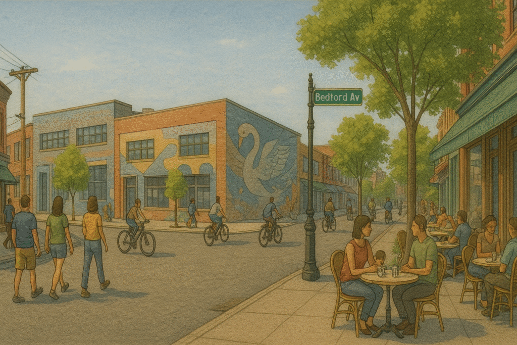
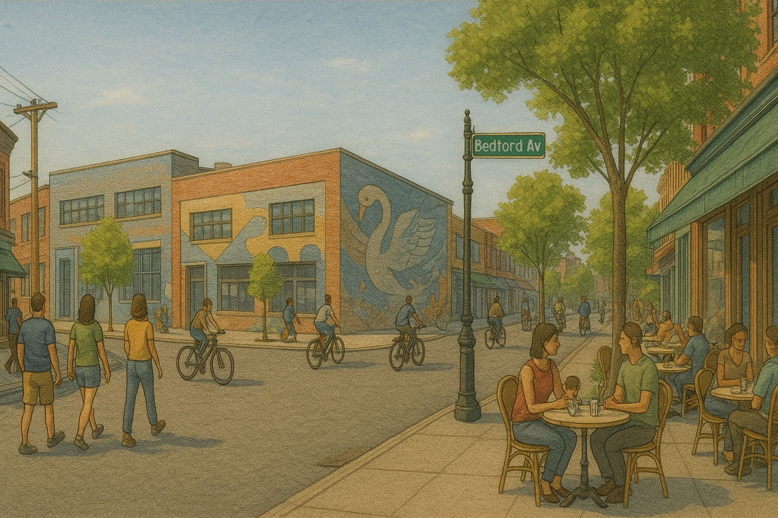
From the park’s southeast corner, head south along Bedford Avenue, Williamsburg’s main commercial corridor. The street is lined with cafés, independent shops, and restaurants offering a range of cuisines. Murals and street art appear on the sides of brick buildings, often incorporating references to the neighborhood’s history or cultural trends.
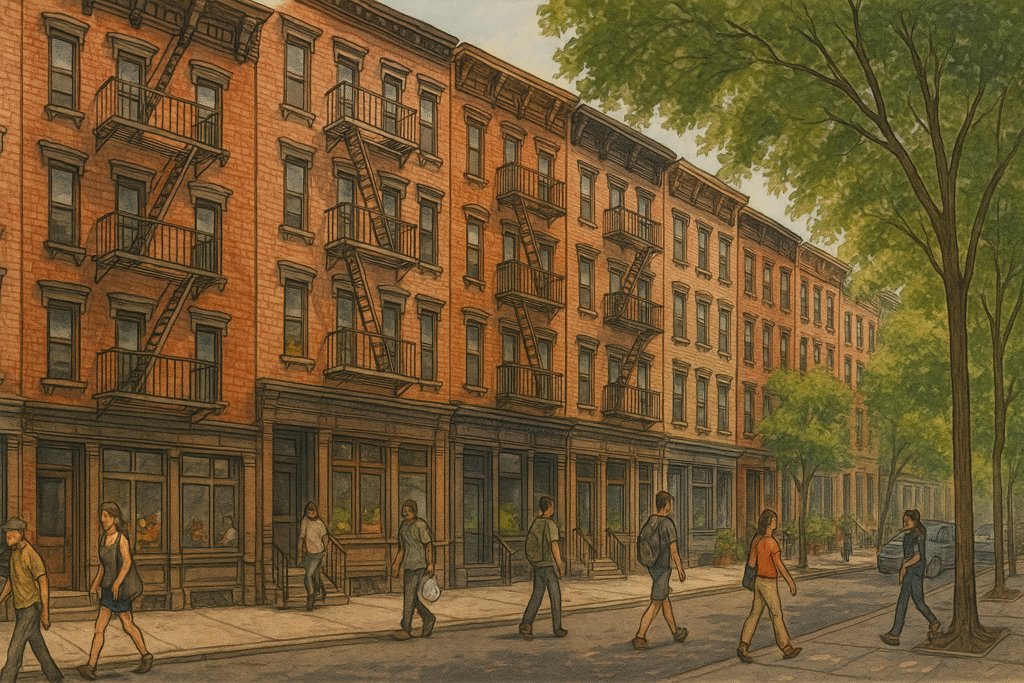
The buildings along this stretch vary in height and use. Former warehouses have been adapted into retail spaces and studios, while older residential walk-ups remain alongside newer mid-rise developments. The sidewalks are wide enough to accommodate outdoor seating in front of many businesses, creating a steady flow of pedestrian activity.
Side Streets and Cultural Spots
From Bedford Avenue, turn west onto North 7th Street, where small galleries, clothing boutiques, and specialty shops occupy ground-floor spaces in converted industrial buildings. Murals and stencil art appear along building walls and roll-down gates, adding color and texture to the streetscape.
Continue toward North 6th Street, passing music venues and bars that host live performances. The façades here combine older brickwork with updated glass and metal elements. Sidewalks are often lined with bicycles, and outdoor seating is common in warmer months.
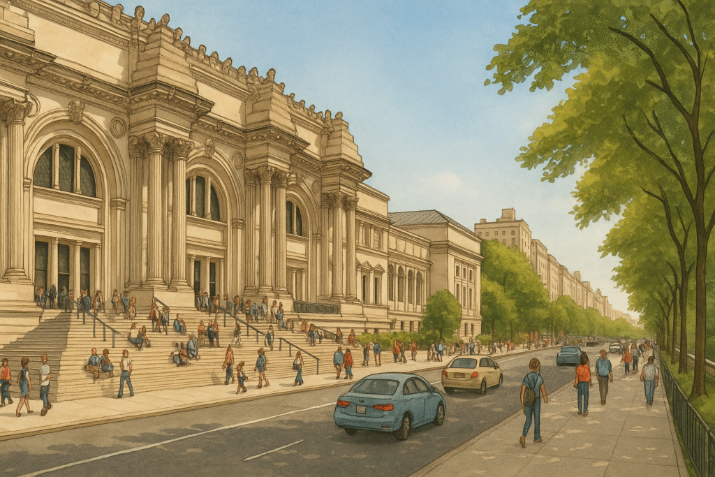
If open, visit the Williamsburg Art and Historical Center on Bedford Avenue near South 6th Street. The center is housed in a late-19th-century bank building with ornate stonework and tall arched windows. Inside, rotating exhibitions and cultural events focus on local history and contemporary art.
East River Waterfront
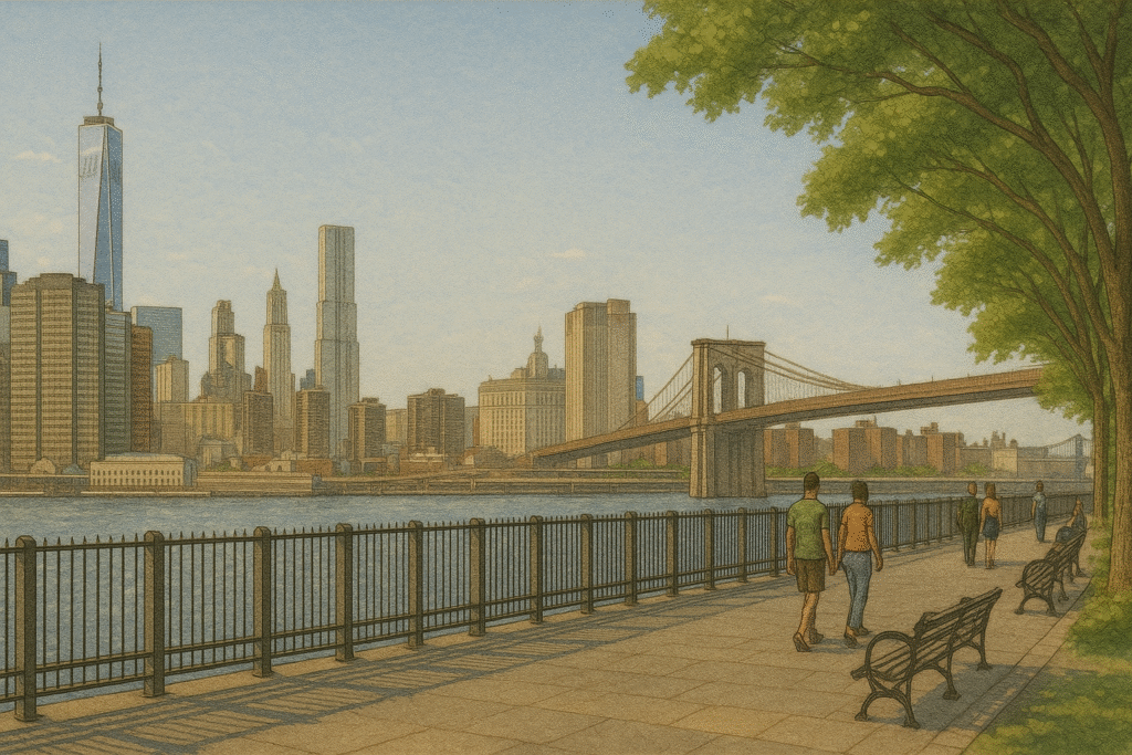
From North 6th Street, head west toward the river to reach East River State Park, also known as Marsha P. Johnson State Park. The open lawn and paved paths here provide clear views across the water to the Midtown Manhattan skyline. Picnic tables and shaded seating areas are available along the waterfront.
Walk south along the shoreline to Domino Park, a landscaped space built on the former site of the Domino Sugar Refinery. The park incorporates preserved industrial elements, including steel beams and large tanks, into its design. A raised walkway runs parallel to the river, offering elevated views of the Williamsburg Bridge and Lower Manhattan.
Continue to the park’s southern end near South 5th Street, where playgrounds, seating areas, and food vendors create a busy public space. The Williamsburg Bridge rises directly overhead, marking the end of the route. From here, visitors can either remain in the park or connect to streets leading back into the neighborhood.
This walk through Williamsburg combines active public parks, adapted industrial spaces, and a lively commercial corridor. McCarren Park, Bedford Avenue, and the East River waterfront each highlight different aspects of the neighborhood’s identity. Preserved warehouses and historic buildings stand alongside contemporary development, while murals and public art reflect ongoing creative activity. For visitors interested in architecture, local culture, and direct access to the waterfront, this route offers a clear view of Williamsburg’s balance between past and present.
The Street Sign
The Street Sign points the way to where things are — the parks, restaurants, museums, and everything else. These guides are built to save you time and energy. Need a plan for an NYC outing? Follow The Street Sign.