This walk links Brooklyn Heights and DUMBO, two waterfront neighborhoods that showcase different eras of New York City’s development. The route begins at the Brooklyn Heights Promenade with views of Manhattan across the East River, then moves through quiet streets lined with 19th-century brownstones. From there, it descends toward the industrial brick warehouses and cobblestone lanes of DUMBO, now home to parks, shops, and cultural spaces. The walk’s pace is moderate, with opportunities to pause at scenic overlooks, visit restored buildings, and explore landscaped waterfront paths. This itinerary is suited to visitors interested in architecture, history, and changing urban landscapes.
Brooklyn Heights Promenade and Historic Streets
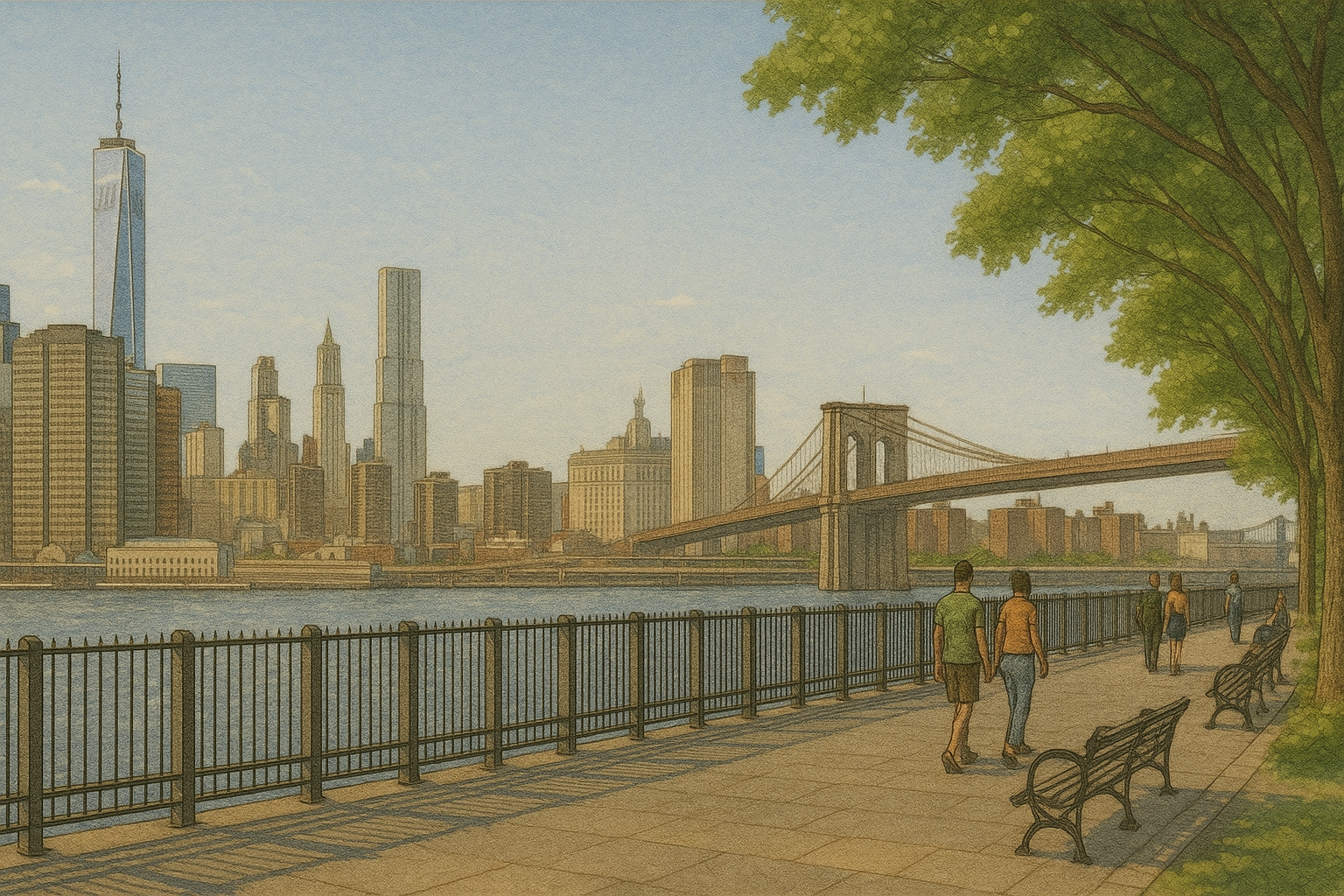
Begin at the Brooklyn Heights Promenade, a raised pedestrian walkway overlooking the East River. From here, the view stretches from the Statue of Liberty in the harbor to the Empire State Building in Midtown Manhattan. The Brooklyn and Manhattan Bridges are visible to the north, and the traffic of the Brooklyn-Queens Expressway runs directly below the promenade.
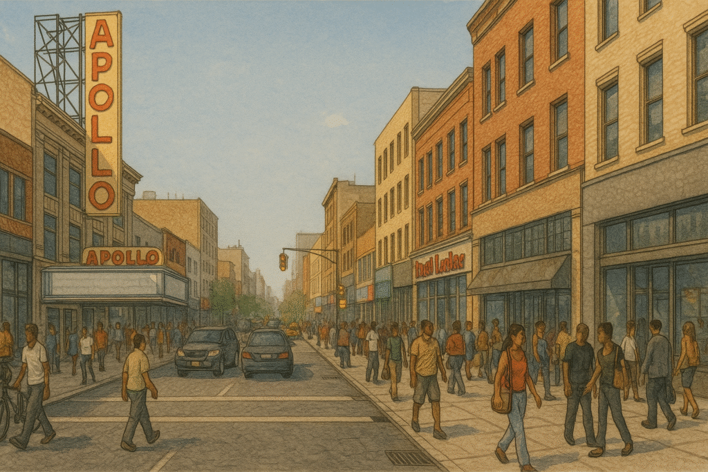
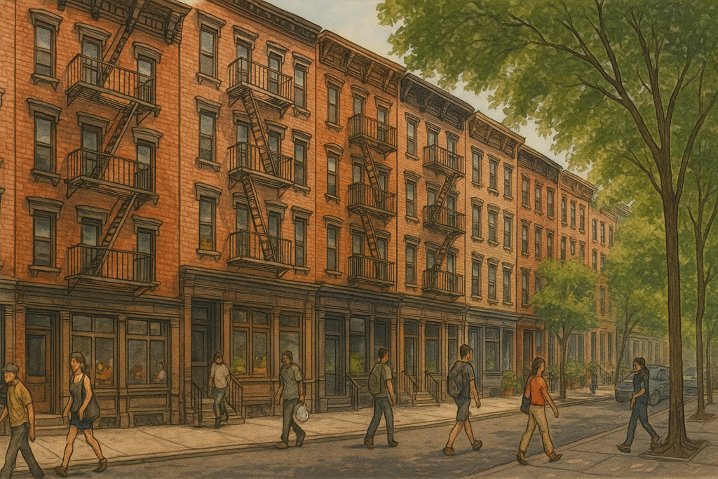
Walk south along the promenade, then exit onto Montague Street. This commercial corridor connects the waterfront to the heart of Brooklyn Heights and features cafés, restaurants, and small shops. From Montague Street, turn onto Willow Street or Columbia Heights to see rows of preserved brownstone houses, many with original stoops, window shutters, and wrought-iron railings.
Along these residential streets, the architecture reflects the neighborhood’s development in the 1800s. Churches with tall spires and civic buildings with classical details appear between the homes. The sidewalks are shaded by mature trees, and the pace is slower than the busy streets near the waterfront.
Transition to Fulton Ferry and DUMBO
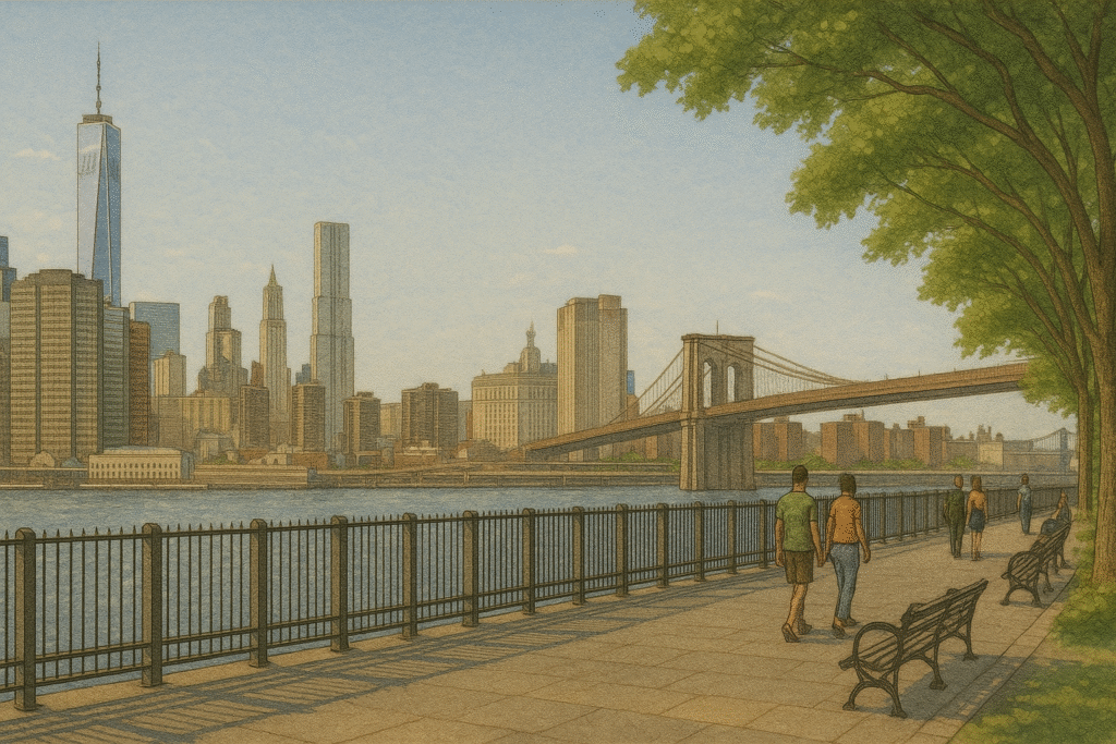
From the residential streets of Brooklyn Heights, head downhill along Old Fulton Street toward the river. The street passes under the Brooklyn Bridge and leads to Fulton Ferry Landing, once a major crossing point between Brooklyn and Manhattan. The restored wooden pier offers open views of the East River, the bridge towers, and the lower Manhattan skyline.
Continue into DUMBO (Down Under the Manhattan Bridge Overpass), where brick warehouses from the late 19th and early 20th centuries line cobblestone streets. Many of these buildings have been converted into galleries, shops, and offices while retaining original exterior features such as arched windows and loading dock doors.
Stop at Empire Stores, a former coffee warehouse now housing restaurants, retail, and exhibition spaces. The building’s rooftop provides another vantage point across the river and along the Brooklyn waterfront. Nearby, the glass pavilion of Jane’s Carousel encloses a restored 1920s carousel, offering a clear view of the river through its transparent walls.
Brooklyn Bridge Park
From Jane’s Carousel, follow the waterfront paths south into Brooklyn Bridge Park. The park is organized into a series of landscaped piers, each with its own features, including lawns, playgrounds, sports courts, and seating areas. Wide walking paths run along the shoreline, with frequent views across the East River toward Lower Manhattan.
As you move through the park, the perspective on the Brooklyn and Manhattan Bridges shifts with each pier. Interpretive signs describe the site’s history as a former shipping terminal, and many design elements reuse industrial materials such as steel beams and timber pilings.
Continue walking to Pier 6 at the park’s southern end, where the route passes gardens, play areas, and seasonal food vendors. This section provides an open view down the harbor toward Governors Island and the Statue of Liberty. The walk can end here or connect to nearby streets leading back into Brooklyn Heights.
This walk links the historic streets of Brooklyn Heights with the repurposed industrial spaces of DUMBO and the open landscapes of Brooklyn Bridge Park. Along the way, visitors encounter preserved brownstones, 19th-century warehouses, and designed public spaces that frame views of the East River and Manhattan skyline. The route highlights how waterfront access, adaptive reuse, and architectural preservation can coexist within a short walking distance. For those interested in both historic character and contemporary urban design, this walk offers a clear view of how Brooklyn’s past and present meet along the shoreline.
The Street Sign
The Street Sign points the way to where things are — the parks, restaurants, museums, and everything else. These guides are built to save you time and energy. Need a plan for an NYC outing? Follow The Street Sign.