This third itinerary shifts focus from landmarks and institutions to neighborhoods and public spaces. The day emphasizes street-level exploration, architectural variety, and walkable routes through some of New York’s most distinct downtown districts. Visitors move through areas known for shopping, dining, adaptive reuse, and outdoor gathering. Most of the stops require no admission and offer flexible timing, making the schedule easy to adjust. The route highlights how New York has redeveloped historic infrastructure and preserved local character in dense residential and commercial zones.
SoHo to Washington Square
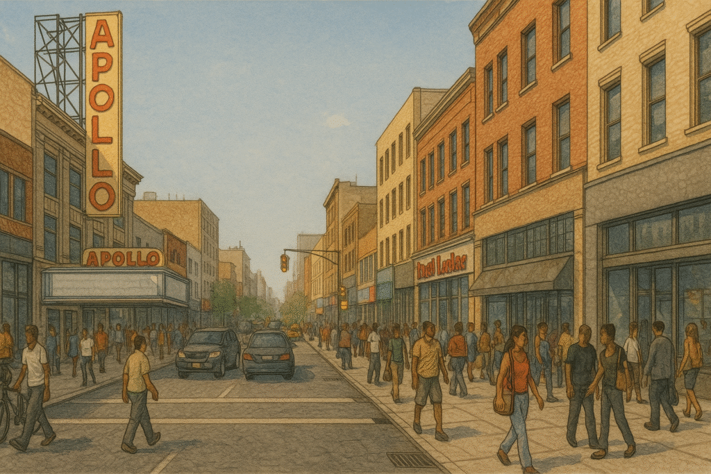
The day begins in SoHo, a district known for cast-iron buildings, street-level retail, and a dense concentration of galleries and boutiques. Streets such as Prince, Spring, and West Broadway are lined with storefronts ranging from designer fashion to independent bookstores. The sidewalks are often busy, especially near intersections, but side streets offer quieter passage and unobstructed views of building facades. Visitors can pause at any corner to observe the architectural details or browse open-door shops. Most stores open by midmorning, and some allow for brief browsing without pressure to purchase.
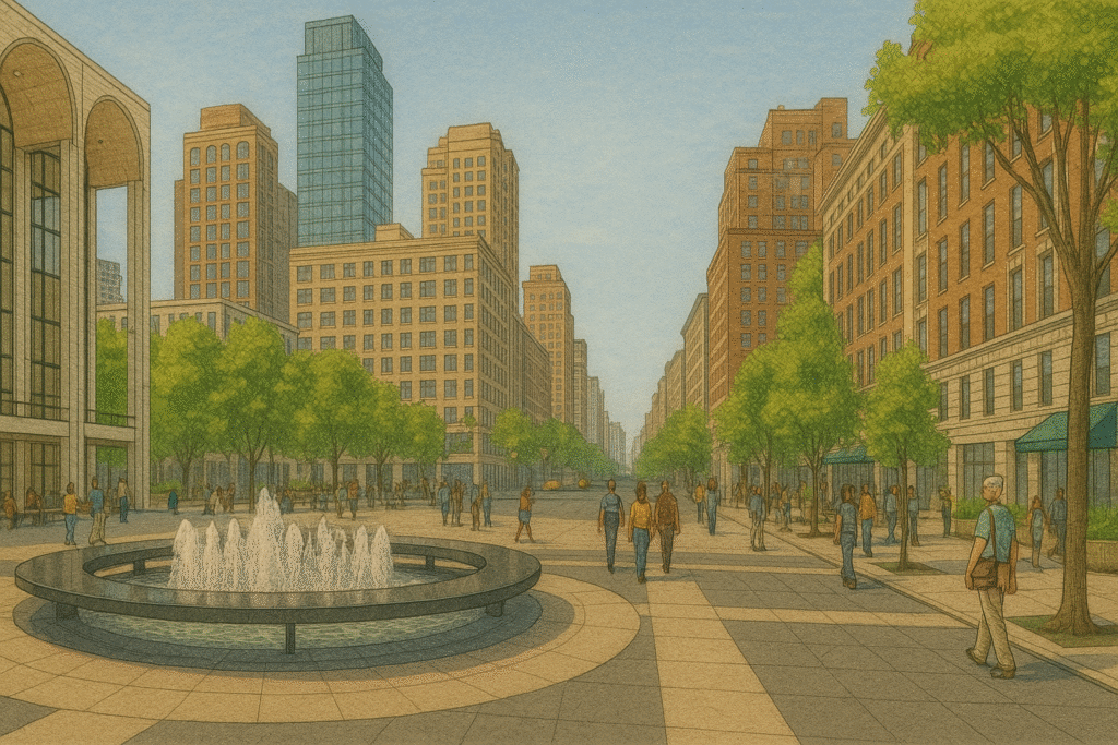
Moving north, the route continues through NoHo and into the area surrounding Washington Square Park. This walk passes low-rise residential buildings and smaller storefronts, with visible transitions between commercial and academic zones. Washington Square Park sits at the center of this shift. It is bordered by New York University buildings, residential brownstones, and small shops. The park includes a central fountain, curved walking paths, and benches along shaded edges. Street musicians, chess players, and small groups often occupy different corners of the space throughout the day. Entry is free and open to the public. Restrooms are located near the northwest corner. From here, travelers can exit in any direction to begin exploring Greenwich Village.
Greenwich Village to Chelsea
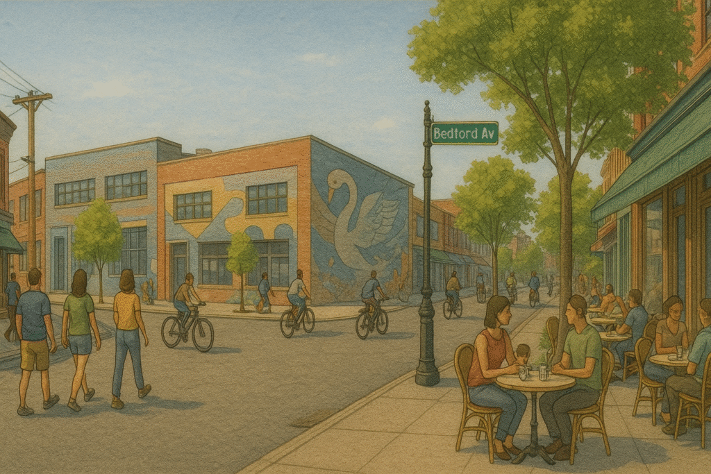
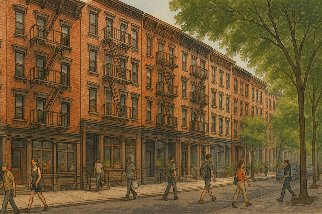
From Washington Square Park, the walk continues west into Greenwich Village, a neighborhood defined by irregular street grids, low-rise buildings, and residential side streets. This area is best explored at a relaxed pace. Travelers will pass cafés, independent shops, and tree-lined blocks with limited car traffic. Streets such as MacDougal, Bleecker, and Perry offer a mix of small storefronts and historic brownstones. There are benches in pocket parks and occasional seating in front of cafés. While many of the area’s buildings are private residences, street-level access remains open throughout the day.
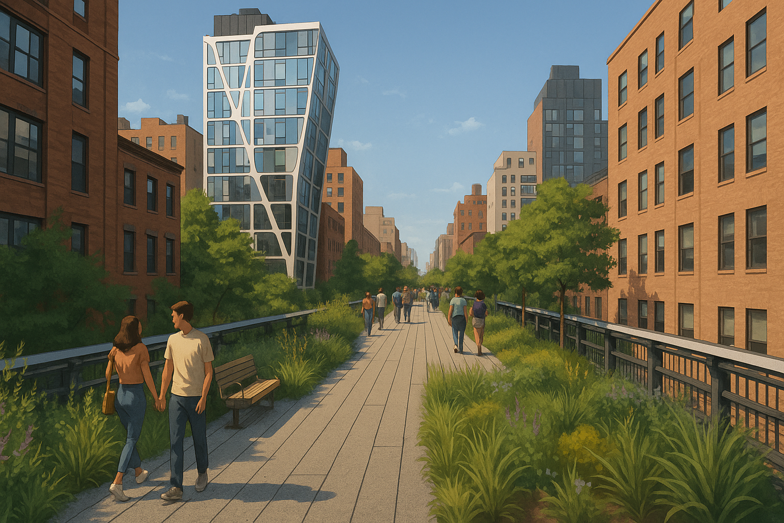
The route then shifts northwest toward Chelsea, with a gradual increase in building height and retail density. Seventh and Eighth Avenues serve as main thoroughfares, but the walk can follow quieter side streets to reach The High Line, an elevated linear park built on a former freight rail line. Entrances are located at several cross streets, including Gansevoort, 14th, 16th, 20th, and 23rd Streets. Stairways and elevators provide access. The park features native plantings, built-in seating, and overlooks of adjacent buildings and avenues. No ticket is required for entry, and the walk can be started or paused at any point. From the first entrance, travelers can proceed north or south depending on time and interest. The park is open during daylight hours and includes restrooms near select access points.
High Line to Chelsea Market
After entering the High Line, visitors can follow the walkway north toward 23rd Street or exit earlier to reach nearby attractions. The path is level and fully accessible, with multiple viewing points over city streets, rail yards, and private gardens. Architectural contrasts appear at close range, including restored warehouses, new residential towers, and repurposed industrial structures. The walk is unidirectional but can be paused at seating areas along the route. Public art installations and native plants are placed at regular intervals. Some entrances include signage with maps and neighborhood information. The elevated setting offers shelter from street traffic while remaining open to the surrounding skyline.
Exiting near the southern end of the High Line, the route leads into the Meatpacking District, a former warehouse zone now home to fashion stores, design galleries, and restaurants. Streets are paved with cobblestones, and sidewalks may be narrow or uneven in some areas. Pedestrian activity is highest around intersections such as Ninth Avenue and Gansevoort Street. Crosswalks and signage guide movement toward Chelsea Market, a block-long indoor arcade with multiple food vendors and small shops. The market includes restrooms, seating areas, and open-air dining options in the rear hall. Travelers can stop here for a full meal, a coffee break, or brief indoor rest before concluding the walk.
Depending on timing, visitors may continue south through the Meatpacking District or head east toward public transit connections at 14th Street. The neighborhood remains active into the evening and includes outdoor plazas, museum entries, and additional retail nearby.
This itinerary highlights the range of experiences available outside New York’s major landmarks. The day emphasizes local streets, neighborhood-scale architecture, and public access to redeveloped infrastructure. Travelers encounter shorter buildings, slower intersections, and more varied walking surfaces than in Midtown or Lower Manhattan. The pace is flexible, with open entry to public parks, storefronts, and indoor markets. Navigation is straightforward but benefits from frequent street signs and cross-street awareness. By the end of the route, visitors will have moved through areas shaped by commerce, adaptation, and residential life—offering a grounded view of the city’s contemporary texture.

The Street Sign
The Street Sign points the way to where things are — the parks, restaurants, museums, and everything else. These guides are built to save you time and energy. Need a plan for an NYC outing? Follow The Street Sign.